The other Tour de Suisse
My name is Heinz and about two years ago I quit my job and gave up my flat in anticipation of a long-distance hike in the USA. However, due to COVID, I was unable to take part. Instead, I spent the last two summers hiking through the Alps to the Ventimiglia in the Mediterranean, and to Trieste on the Adriatic.
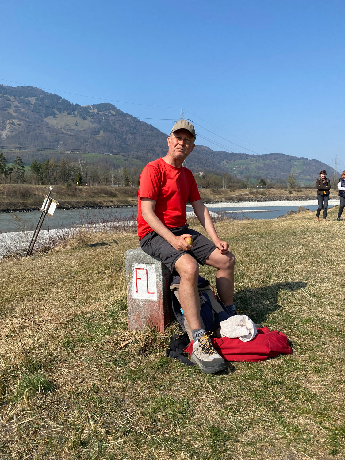
Provisions are a must on such a hike. The border stone at the border triangle also serves as a bench for taking a break. ©Heinz
This year I intend to walk about 2,800 km along the “Swiss border”. Over hill and dale, but always on paths, as close to the border as possible. Often along bodies of water and on crests, mostly in the countryside, but also through several villages and towns.
Along the five neighbouring countries, through 16 cantons and four language regions, as well as past numerous customs, over countless bridges and past more than 17,000 border stones. With a daily average of 22 km, this would involve about 1,300 m of ascent and descent each.
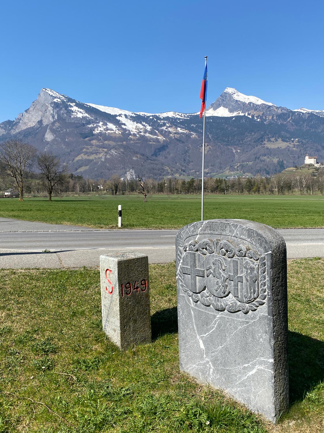
One of the countless border stones Heinz has walked past, here the very first border stone. ©Heinz
First, I travel along the Swiss, Liechtenstein, Austrian and German borders. Overnight stays in Swiss Youth Hostels are a perfect choice. I look forward to taking you along on this hiking tour and reporting on my experiences, impressions and tips.
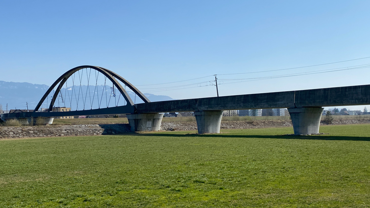
The Rhine bridge between Lustenau and Widnau is also on Heinz’s journey.

St. Gallen – Eastern Switzerland, quite Swiss!
The starting and return point during my first major hiking stretch is St. Gallen with its youth hostel overlooking the city. With her friendly and caring manner, manager Ariana caters to each individual guest. Including me – thank you very much!
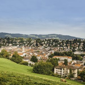
Best view of the city of St. Gallen. ©Swiss Tourism
St. Gallen has much more to offer
- Newly designed old town with cathedral district
- Local range Appenzell Alpstein
- «Swabian sea» Lake Constance
- May blossom time

Flat doesn’t have to mean boring and dull
I start my tour at the Swiss-Lichtenstein border between Balzers and St. Luzisteig. Right at the beginning, you have to climb 300 metres in altitude towards Fläscher Berg. With this, I have already earned my Tour de Suisse mountain prize for the next few days. Afterwards, the route mostly descends along the Rhine. The average 1,300 metres of altitude to circumnavigate the Swiss border still seem a long way off.
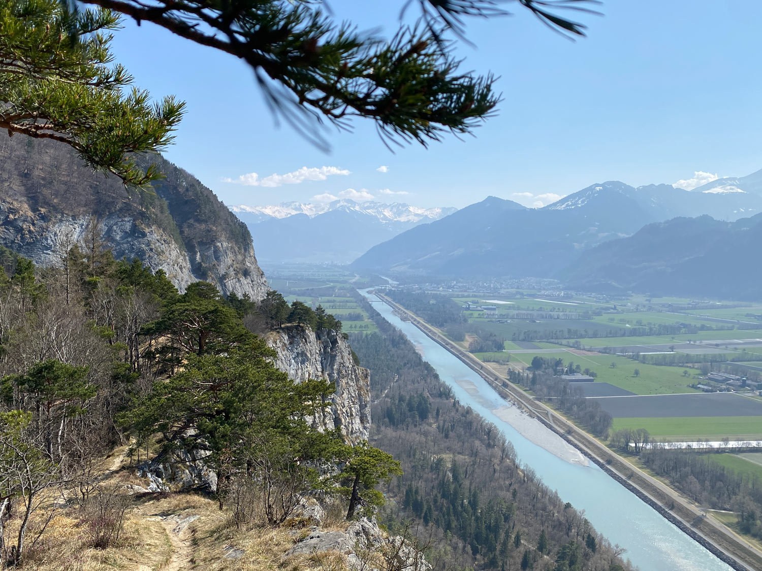
At the top of Fläscher Berg, this breathtaking view of the Bündner Herrschaft awaits you – it’s definitely worth the effort. ©Heinz
One recently renovated Swiss Youth Hostel with a particularly fine breakfast can be found outside Switzerland. A year ago, it reopened in Schaan-Vaduz. It stands close to the Swiss border and the main town of Vaduz. I already spent a few days here last August.
Excursion recommendations in the Liechtenstein countryside
The centre of Vaduz with the new government building and the Art Museum
Vaduz Castle combined with a short hike
The Fürstensteig with the Three Sisters for experienced hikers
A detour to Feldkirch
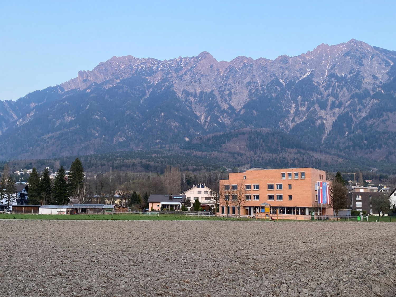
The modern youth hostel in Schaan-Vaduz is a wonderful fit for this small country. ©Heinz
Hoher Kasten or Fürstensteig?
We continue down the Rhine. An easy hiking route, but by no means monotonous. The wide valley is surrounded by Swiss, Liechtenstein and Austrian mountains. It would also be possible to travel to the Staubern by train. From there you can get to the Alpstein to the revolving restaurant Hoher Kasten, to Fälensee lake with the Bollewees mountain inn or to the Kreuzberge mountains for climbing. On the east side you can reach the Three Sisters via the Fürstensteig, down the valley you can reach the Karren panorama restaurant on foot or by train.
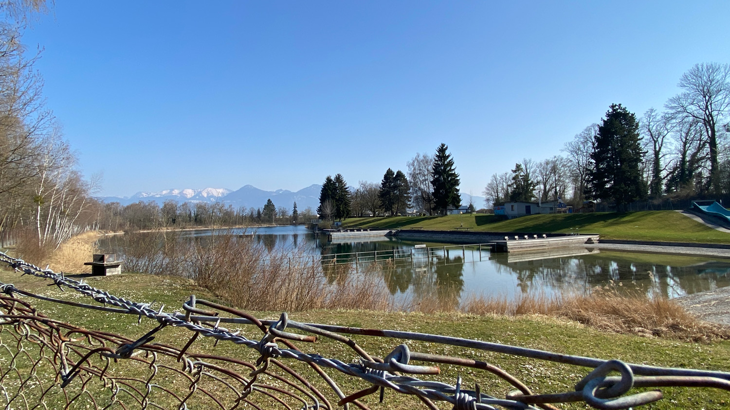
If you need to cool off on the way, the Bruggerhorn lido in St. Margrethen is the place to be. ©Heinz
Does the border divide or unite?
On the rest of the tour I ask myself, does the border divide or unite? I come to the conclusion that both are the case. The gravel banks of the Rhine, which can be walked on during low water, become a place for meeting and adventure on both sides of the border.
I approach the old courses of the Rhine in Diepoldsau and Rheineck-Altenrhein. True nature and leisure paradises, created by the straightening of the Rhine at the time.
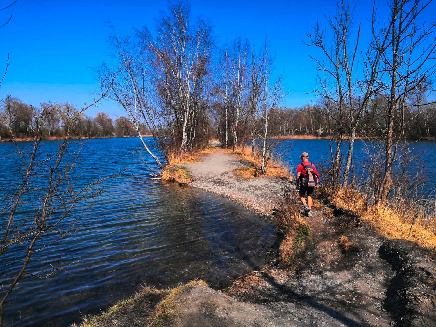
The old course of the Rhine near Diepoldsau is also a magnificent spot. It lies directly between Switzerland and Austria. ©Heinz
For those who want to enjoy more magnificent views of Lake Constance, I recommend a short ride on the Kleinst-Appenzeller-Bähnli. From Rheineck to Walzenhausen or from Rorschach (Hafen) to Heiden, it also offers the perfect starting point for a hike with great views – for example to the Fünfländerblick.

Many thanks to my friends for meeting up with me each day and accompanying me to kick off the tour. And see you all again soon!
Happy hiking, Heinz
If you want, you can also follow me on my journey on my website or via the Polarsteps platform (which can also be used via an app).


Leave a Reply